


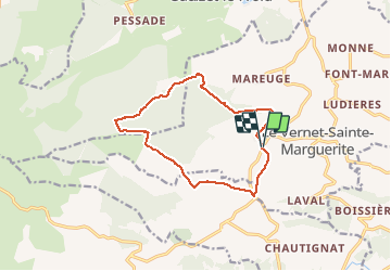

11.3 km | 16.7 km-effort


User


FREE GPS app for hiking
 SityTrail
IGN / Geographical institutes
SityTrail World
The world is yours!
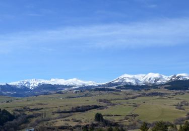
Trail Snowshoes of 12.4 km to be discovered at Auvergne-Rhône-Alpes, Puy-de-Dôme, Le Vernet-Sainte-Marguerite. This trail is proposed by tracegps.
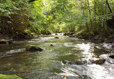
Une balade en raquettes sans difficulté. Dans la seconde partie de l'itinéraire, un chemin plat et étroit, tout à fait inattendu à travers le bois de Maugne, est un véritable boulevard pour les animaux de la forêt: très nombreuses traces de lièvres, chevreuils cerfs et biches.


Walking
Walking

Walking

Walking
Walking
On foot
On foot
On foot

On foot